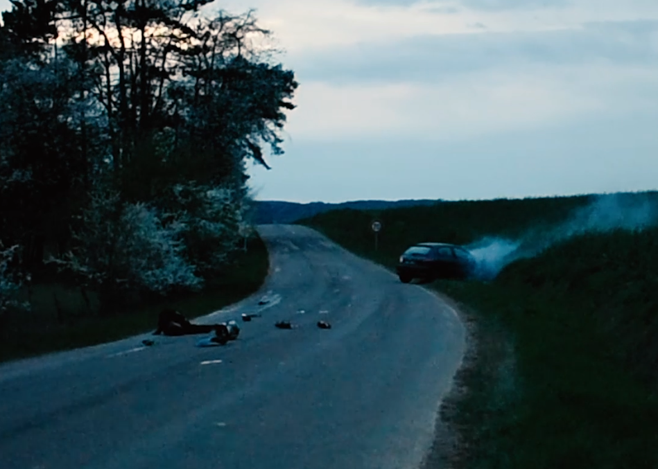
Accidentologie

  • project image
    Accidents en 2017, 2018, 2019, 2020, 2021 et 2022 en Haute-Saône et localisation des radars

    Load the map View metadata

agroecologie

  • project image
    Cours d'eau classés BCAE 2022 en Haute-Saône

    Load the map View metadata

  • project image
    PAEC 2023

    Load the map View metadata

Classement sonore

  • project image
    Cartes de bruit stratégiques en Haute-Saône (CBS)

    Load the map View metadata

  • project image
    Classement sonore en Haute-Saône

    Load the map View metadata

Environnement

  • project image
    Localisation des enjeux environnementaux en Haute-Saône.

    Load the map View metadata

Forêt

  • project image
    Cartographie des forêts de Haute-Saône

    Load the map View metadata

Occupation du sol

  • project image
    L'occupation du sol (couverture et usage) en Haute-Saône

    Load the map View metadata

Eau

  • project image
    Les catégories piscicoles des cours d'eau en Haute-Saône

    Load the map View metadata

  • project image
    Cartographie des cours d'eau en Haute-Saône

    Load the map View metadata

Référent inondation

  • project image
    Référent Départemental Inondation (RDI)

    Load the map View metadata

risques naturels

  • project image
    Zones inondables en Haute-Saône

    Load the map View metadata

  • project image
    Risques géologiques en Haute-Saône

    Load the map View metadata

Services

  • project image
    Localisation des cliniques vétérinaires

    Load the map View metadata

servitudes et contraintes réglementaires

  • project image
    Servitudes et contraintes réglementaires

    Load the map View metadata

Trafic routier en Haute-Saône

  • project image
    Trafic et panneaux équipements hiver Massif Vosgien

    Load the map View metadata

  • project image
    Trafic routier en Haute-Saône (2008-2020)

    Load the map View metadata

  Base Layer

project image

Title
Monuments historiques en Haute-Saône 

Description
Localisation des MH - MAJ données 2021
 

Organization
DDT 70 

Projection
EPSG:2154 

Extent
860578.80326424899976701, 6684585.48250000085681677, 1004745.89673575118649751, 6776112.61750000063329935

Web Map Service
WMS Url
WMTS Url

 Locating